
ENLAPA Data API
BetaSite and planning data as context for AI agents
Parcels, protected areas, planning, grid, terrain and more through one API.
Every value with its source
data catalogue →- Bundesamt für Kartographie und Geodäsie
- Bundesamt für Naturschutz
- Bundesnetzagentur
- Bundesanstalt für Gewässerkunde
- Deutscher Wetterdienst
- Umweltbundesamt
- Statistisches Bundesamt
- BBSR
- Bundesamt für Strahlenschutz
- basemap.de
- OpenStreetMap
- European Environment Agency
- PVGIS (JRC)
How your agent works
Your agent asks. The API answers with sources.
Question to the agent
What should I know about this site in Hannover if I plan a battery storage system there?
POST/v1/profilePoint [9.75, 52.4] · preset "bess"Substation
substation_distance_m178 m · 110 kV
OpenStreetMapOSM contributors
Land-use plan (FNP)
fnp_land_useCommercial area
Plan in forcePlanDigital Lower Saxony
Flood zone HQ100
flood_hazard_hq100_insideoutside
OfficialGerman Federal Institute of Hydrology
Landscape protection area
landschaftsschutzgebiet_insideoutside
OfficialFederal Agency for Nature Conservation
Storage within 5 km
mastr_storage_units_capacity_kw_5km24 MW
OfficialCore Energy Market Data Register (BNetzA)
Water protection area
wasserschutzgebiet_insidenot_covered · freshness_unknown
No estimate, no charge
The agent's answer
The nearest substation is 178 m away (110 kV, according to OpenStreetMap). The land-use plan shows a commercial area, and the point is outside HQ100 and landscape protection. 24 MW of storage is registered within 5 km. There is no reliable status for water protection, so the responsible authority needs to confirm it.
Values from a real query on 2 Nov 2026, selected from the preset. The answer text is illustrative.
What the Data API is
One API that connects your AI agents to site and planning data.
All of Germany
Europe planned
ENLAPA
Data Hub
850+ fields
What you get
- Values with source and vintage
- Parcels (Flurstücke)
- Flächencheck
- Distances
- Gaps stated openly
AI agents
- Claude
- MCP clients
- Your own agents
- Your backend
Sectors
Built for these sectors.
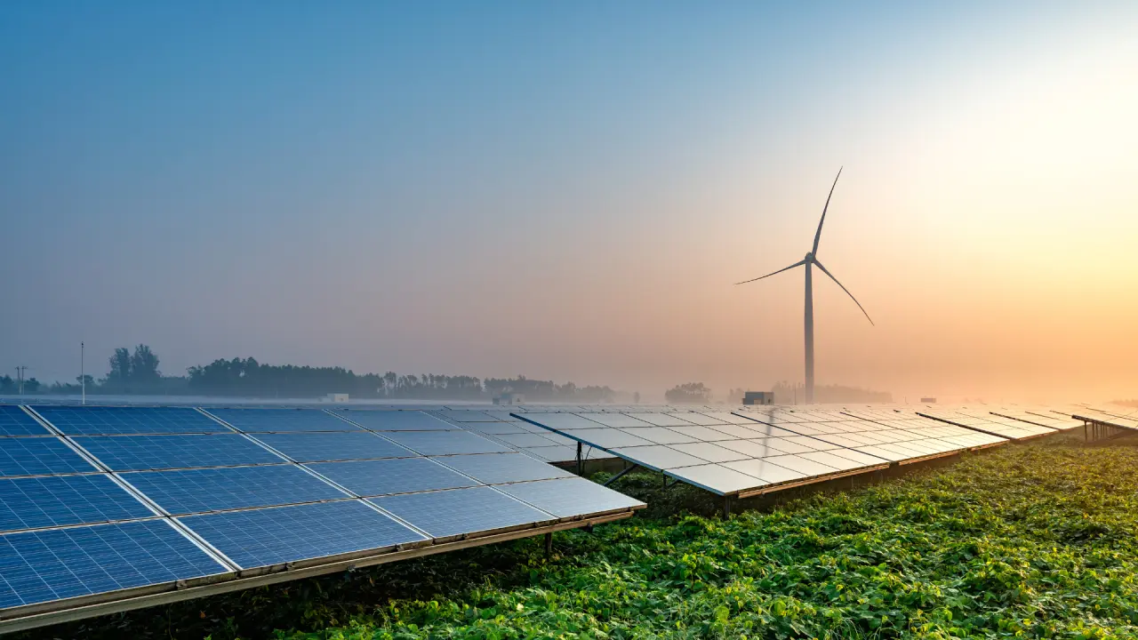
Jüterbog
What is the PV yield, how steep is the terrain, is the point inside Natura 2000, and how far is the nearest grid connection point?
- PV yield
- Slope
- Natura 2000
- Grid connection points
Solar and wind
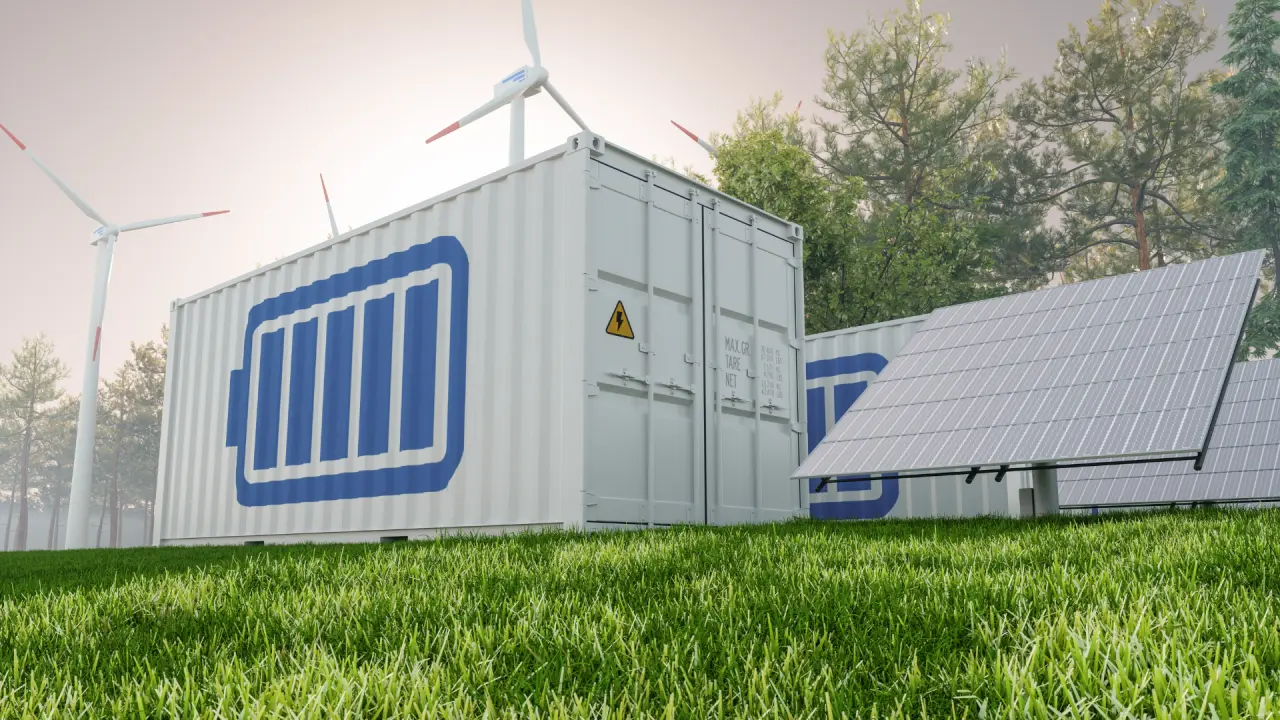
Hannover
How far is the nearest substation, what does the land-use plan show, and how much storage is within 5 km?
- Substations
- Land-use plan
- Storage nearby
- Flood zones
Battery storage

Hattersheim
How far are the substation and the high-voltage line, and how high are the heat and earthquake risks?
- Substations
- High voltage
- Climate
- Earthquakes
Data centers
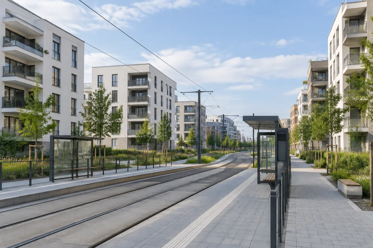
Munich
How far are rail, primary school and supermarket, what is the asking rent, and how is the population developing?
- Public transport
- Schools
- Local shops
- Rents
- Forecast
Real estate and housing
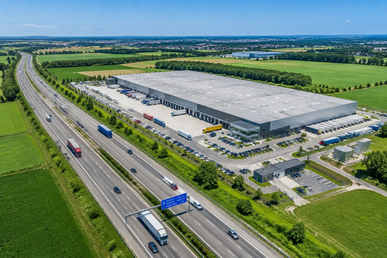
Bad Hersfeld
How quickly can I reach the motorway, what is the trade tax multiplier, and how loud is it at night?
- Motorway
- Rail
- Trade tax
- Noise
Commercial and logistics
Passau
Is the point in an HQ100 or extreme flood zone, how close is the water body, and how high are radon and earthquake risk?
- Flood scenarios
- Water bodies
- Radon
- Earthquakes
Insurance
Essen
What is the standard land value (Bodenrichtwert), does a B-Plan apply, is the point in HQ100, and what is the property tax rate?
- Land value
- B-Plan
- Flood zones
- Property tax
Financing and due diligence
One call, one site
Ask about a place. Get facts you can cite.
Send a point, an address or a Flurstückskennzeichen plus a preset such as pv_freiflaeche. You get every field with its source, and not_covered lists what is missing at that place and why.
# Set your key once (console → API keys):
export ENLAPA_API_KEY="${ENLAPA_API_KEY:-YOUR_KEY_HERE}"

curl -sS https://api.enlapa.de/v1/profile \
  -H "X-API-Key: $ENLAPA_API_KEY" \
  -H "Idempotency-Key: $(uuidgen)" \
  -H "Content-Type: application/json" \
  -d '{"subject":{"kind":"point","longitude":6.9583,"latitude":50.9413},"preset":"general","max_cost_micros":20000}'
Answer excerpt (example)
{
  "envelope_version": "dapi-2",
  "fields": {
    "gemeinde_name": {
      "value": "Köln",
      "unit": null,
      "status": "ok",
      "source": {
        "id": "bkg_verwaltungsgrenzen",
        "name": "Verwaltungsgrenzen Kreise + Gemeinden (BKG VG25)",
        "publisher": "GeoBasis-DE / BKG (VG25), CC BY 4.0",
        "url": "https://gdz.bkg.bund.de/index.php/default/verwaltungsgebiete-1-25-000-stand-31-12-vg25.html"
      },
      "licence": {
        "id": "CC-BY-4.0",
        "url": "https://creativecommons.org/licenses/by/4.0/"
      },
      "attribution": "© GeoBasis-DE / BKG (VG25), CC BY 4.0",
      "basis": "official_register",
      "vintage": "2024",
      "fetched_at": "2026-10-01T03:12:44Z",
      "refresh_cycle": "annual",
      "support": "point_sample",
      "resolution_m": null,
      "derivation": null,
      "reason": null,
      "retryable": null
    },
    "naturschutzgebiet_inside": {
      "value": null,
      "unit": null,
      "status": "absent",
      "source": {
        "id": "bfn_naturschutzgebiete",
        "name": "Naturschutzgebiete (BfN)",
        "publisher": "Bundesamt für Naturschutz (BfN)",
        "url": "https://geodienste.bfn.de/ogc/wfs/schutzgebiet"
      },
      "licence": {
        "id": "GeoNutzV",
        "url": "https://www.gesetze-im-internet.de/geonutzv/"
      },
      "attribution": "© BfN",
      "basis": "official_register",
      "vintage": null,
      "fetched_at": "2026-09-12T02:40:03Z",
      "refresh_cycle": "monthly",
      "support": "point_sample",
      "resolution_m": null,
      "derivation": null,
      "reason": null,
      "retryable": null
    }
  },
  "not_covered": [
    {
      "field": "naturdenkmal_inside",
      "reason": "outside_coverage"
    }
  ]
}
Get the parcel at a coordinate or for a Flurstückskennzeichen, search an area for parcels by criteria, and profile the whole parcel rather than a point.
- POST/v1/parcels/lookup
- POST/v1/parcels/search
- POST/v1/parcels/search/runs
Subjects
Rule sets for ground-mounted PV, battery storage and wind. Run on a point, a parcel or your own polygon, with the reason for every rule.
- POST/v1/area-check
Subjects
Straight-line distance to the nearest substation, motorway or protected area, plus queries over curated datasets such as municipalities.
- POST/v1/distances
- POST/v1/distances/matrix
- POST/v1/features/query
Subjects
Your agent queries sites over the Model Context Protocol and gets the source with every value.
Endpoint (Streamable HTTP): https://api.enlapa.de/v1/mcp
# Set your key once (console → API keys):
export ENLAPA_API_KEY="${ENLAPA_API_KEY:-YOUR_KEY_HERE}"

claude mcp add --transport http enlapa-data https://api.enlapa.de/v1/mcp \
  --header "X-API-Key: $ENLAPA_API_KEY"
FAQ
Before your first call.
What does it cost?
Which areas are covered?
Where does the data come from?
What if a field is missing?
Can my AI agent use the data?
Can I call the API from a browser?
Start