
Loading...
The workspace for project developers
ENLAPA GIS brings land leads, site assessment and grid connection preparation into one workspace. For solar, battery storage and wind.
In your browser. With your team. Hosted in Germany.
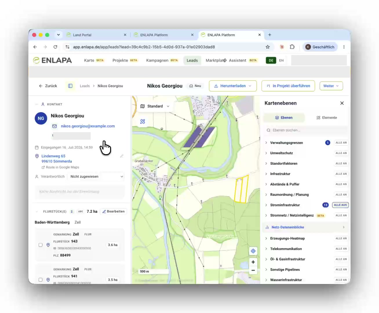
From first contact to project
Each step builds on the same site file. Your team can make decisions without piecing together maps, emails and spreadsheets.
Landowners submit parcels through your website. Geometry, contacts and the first assessment arrive together.
Assess potential and constraints with your rules, spatial context and indicative grid intelligence.
Prepare reports and grid requests, assign responsibilities and keep the next steps visible.
One connected workspace
Choose a starting point. The map, assessment and lead management work together.
Your site check on your own website. Landowners submit their parcels and your team receives a prepared lead file.
Parcels, map layers and projects in their spatial context. Measure, draw and work directly on the map.
Assess sites against your own criteria. Understand protected areas, planning constraints and site characteristics.
Explore substations, generation plants and redispatch together. Indicative capacity is clearly labelled as a model estimate.
Prepare connection requests with pre-filled forms, component data and a shared record of progress.
Parcel maps and site reports as PDFs. Share findings with landowners, municipalities and your team.
See how landowners submit a parcel through your website and how a new lead arrives in your workspace.
Watch the submission workflowInside the product
Follow a real workflow from the lead file to assessment, documents and grid connection preparation. Select a chapter to jump directly to it.
Make the project tangible
Explain your solar project with site visualisations for landowners, municipalities and your team.
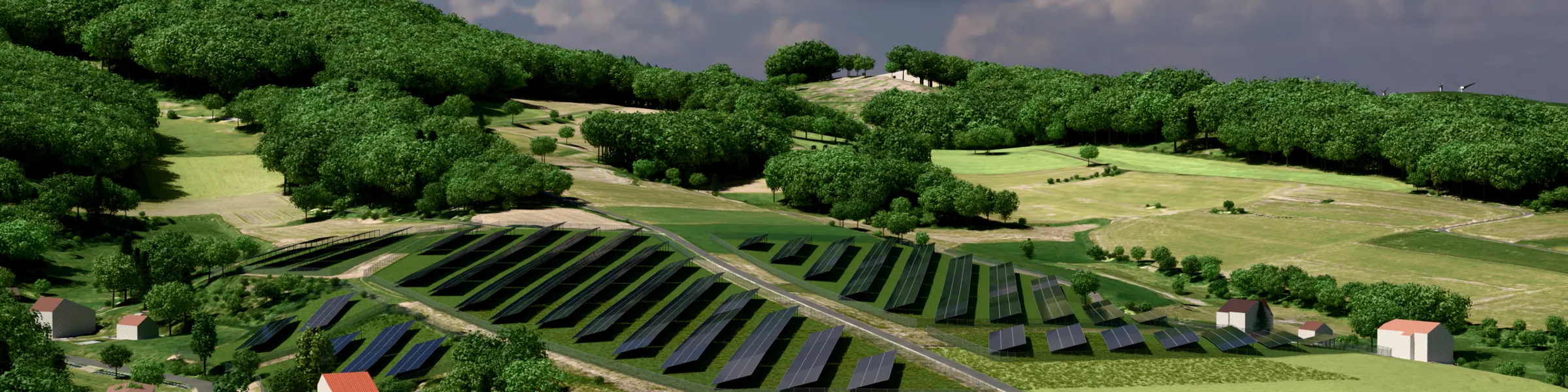
Illustrative visualisations based on geodata. They do not replace formal planning documents or a prescribed-viewpoint photomontage.
For your team
Compare packages and discuss your requirements in a personal demo. We will walk you through the platform before you decide.
In 30 minutes, explore ENLAPA GIS in your project regions. Together, we will find the right setup for your team.
Personal demo. No purchase required.